Maps of Greece and the Balkans
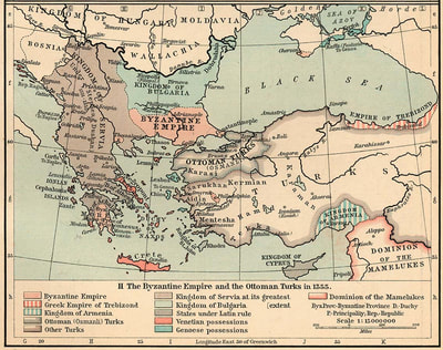
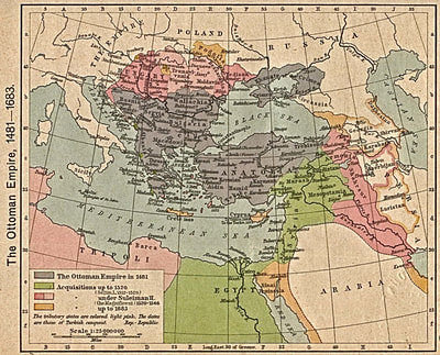
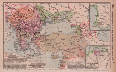
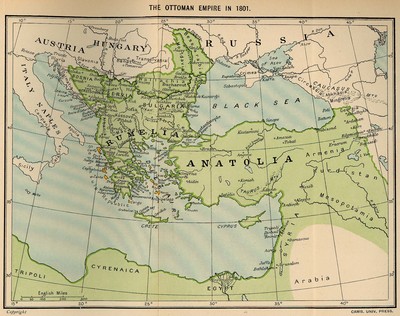
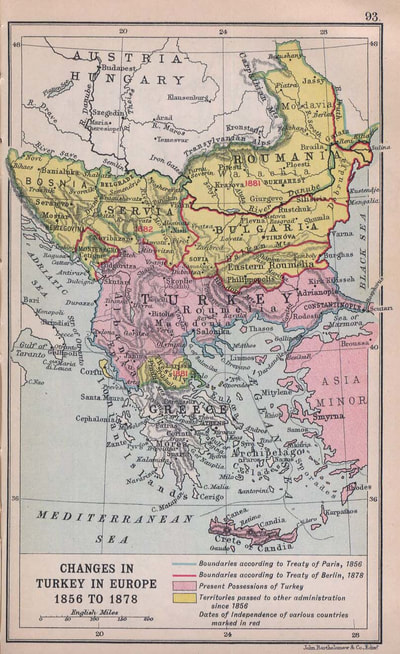
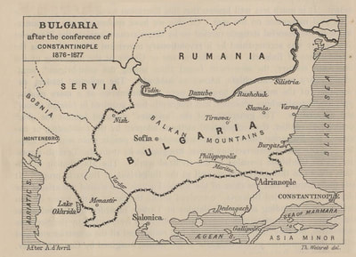
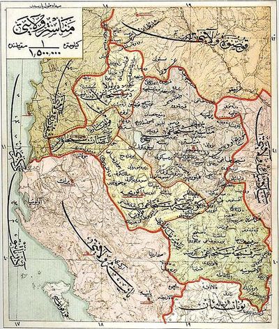
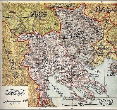
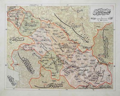
Territorial maps of the Ottoman Empire from 1355 to 1907
The territory of the Ottoman Empire from its early conquests of the Balkans to the final years prior to its dismemberment.
Click on the maps below for context and more information.
Click on the maps below for context and more information.
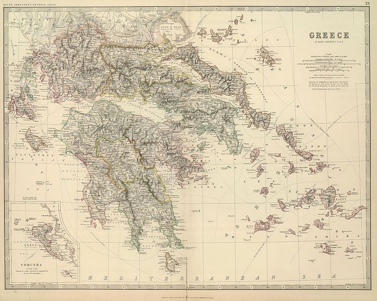
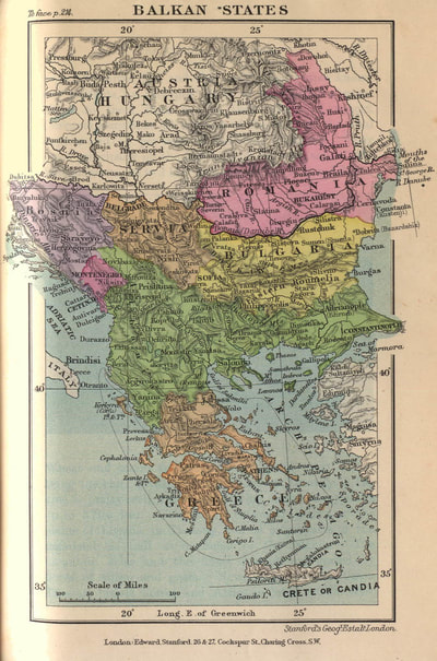
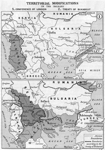
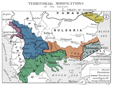
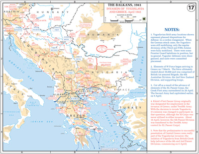
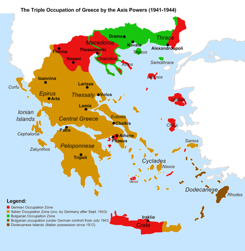
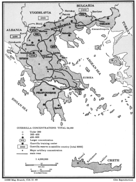
Territorial maps of Greece and the Balkan region from the Balkan Wars (1912-1913) to the final phase of the Greek Civil War (1946-1949)
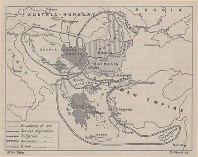
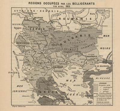
By the early 20th century, Greece, Bulgaria, Montenegro and Serbia had achieved independence from the Ottoman Empire, but large elements of their ethnic populations remained under Ottoman rule in the southern Balkans.
In 1912 these countries formed the Balkan League and defeated the Ottoman Empire in the first Balkan war. One of the four, Bulgaria, later suffered defeat in the second Balkan war.
The Ottoman Empire lost the bulk of its territory in Europe. Today, Turkey, the Ottoman Empire's successor state, holds on to the territory of eastern Thrace.
Click on the maps below for context and more information.
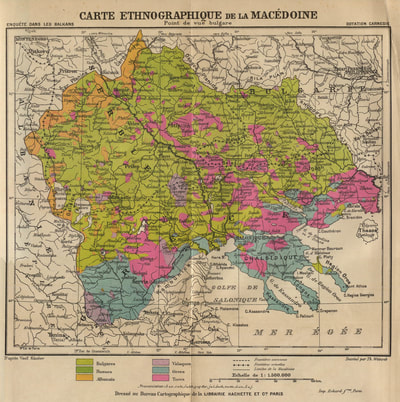
Territorial maps of the region of "Geographic Macedonia" according to competing points of view from the early 1900's
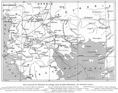
Competing for territorial expansion southwards into the strategic Aegean Sea during the declining years of the Ottoman Empire, the Bulgarians and Serbs presented competing maps to the Great Powers of what was deemed "Geographic Macedonia*."
The maps were based on Bulgarian and Serbian expansionist territorial aspirations and national interests.
Below left, according to the map based on Bulgaria’s point of view, there are absolutely no Serbs living in "Geographic Macedonia." However, according to Serb ethnographers, the map based on Serbia’s point of view to the right, shows Bulgarians living in the eastern areas of the region while in the western areas, the Bulgarians were listed as "Slavs of Macedonia" (i.e. in the regional sense of no ethnic kinship).
* Note: The idea of "Geographic Macedonia" was a modern concept originally propagated by the Bulgarians circa 1900. The first maps of a "Geographic Macedonia" were created by Bulgarian ethnographer Vasil Kanchov in accordance with Bulgarian territorial pursuits in the Balkans.
Click on the maps below for context and more information.
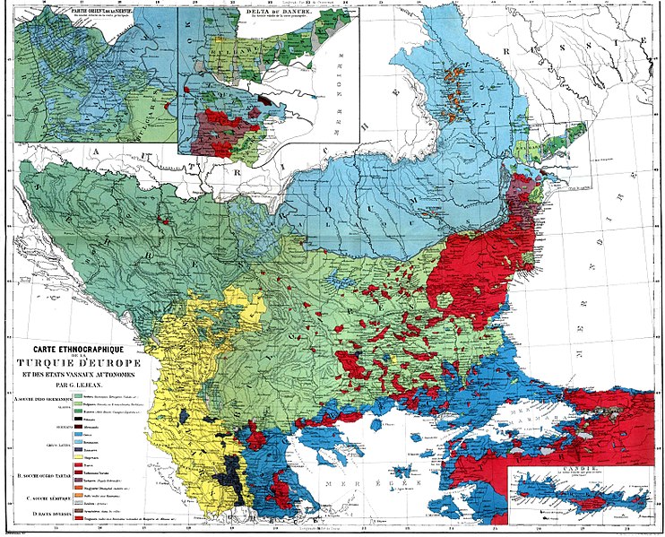
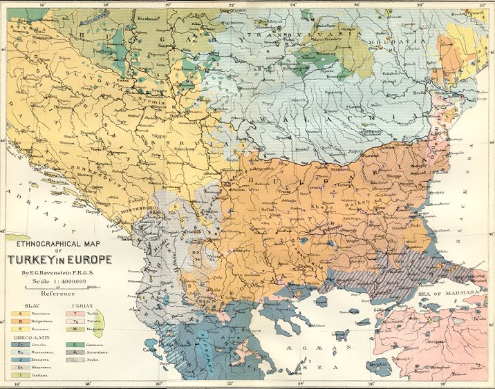
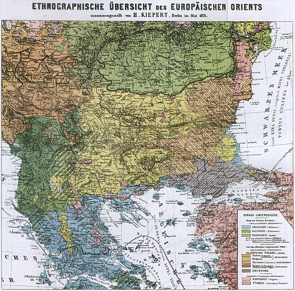
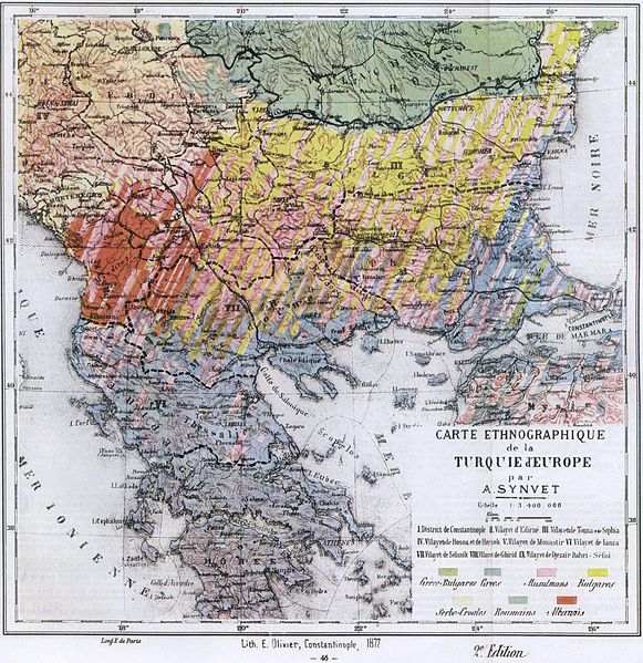
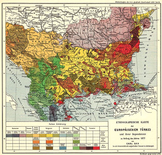
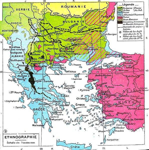
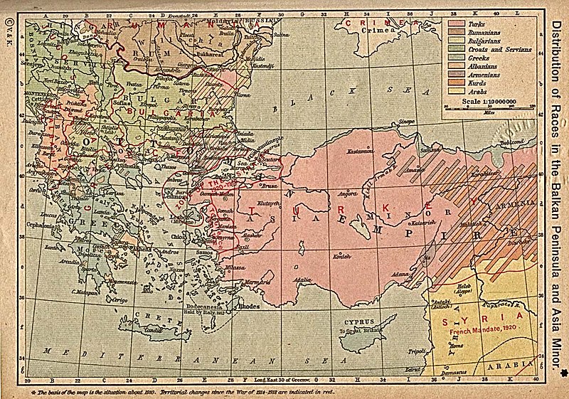
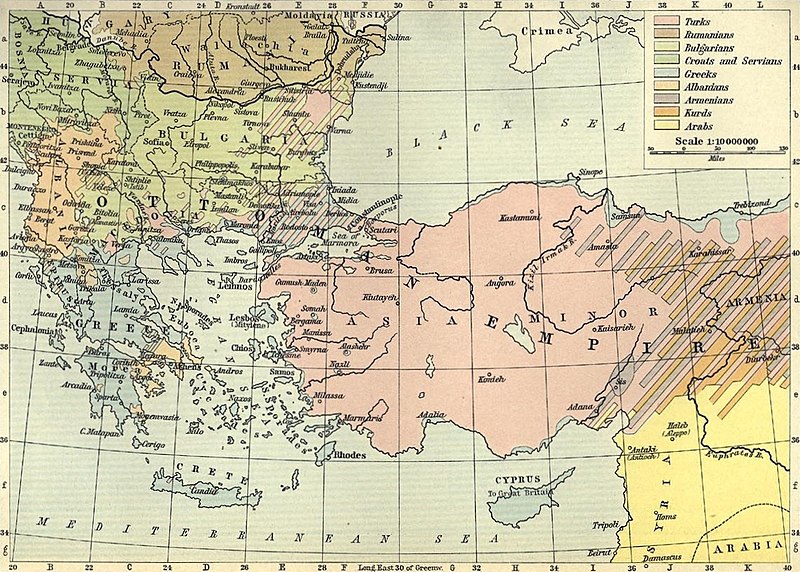
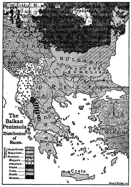
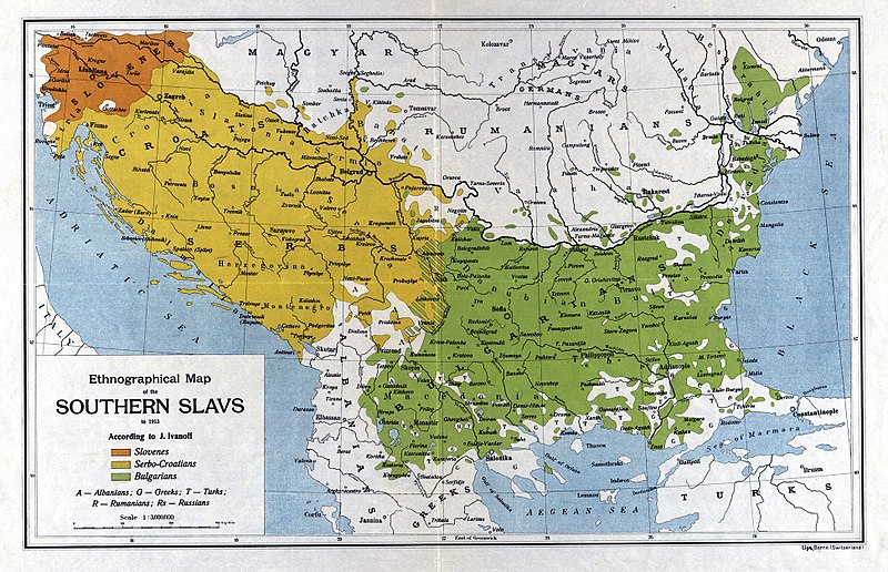
Ethnographic maps of the Balkan region (1861-1913)
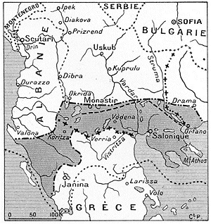
During the declining years of the Ottoman Empire, a point of interest for the western powers was the ethnographic composition of the multi-ethnic area of "Geographic Macedonia." This area would become a powder keg for competing national interests throughout the nineteenth and twentieth centuries which ended after the liberation of the Balkans during the Balkan Wars of 1912-1913.
Click on the maps below for context and more information.
